

Reframing the American Landscape
A project re-presents 1950s US propaganda films in Oaxaca and Arizona to reframe the mythologised American landscape and its lasting displacement effects.
 illustrarch Editoral Team13 October 20261 Mins read2
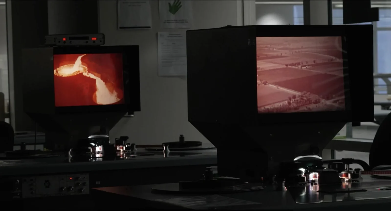
The US National Archives and Records Administration holds an extensive collection of documents, surveys, maps, photographs, and films that define and codify the territory of the United States. Produced and gathered by the state, these materials have long helped construct, reinforce, and circulate a mythical image of US American culture on a global scale.
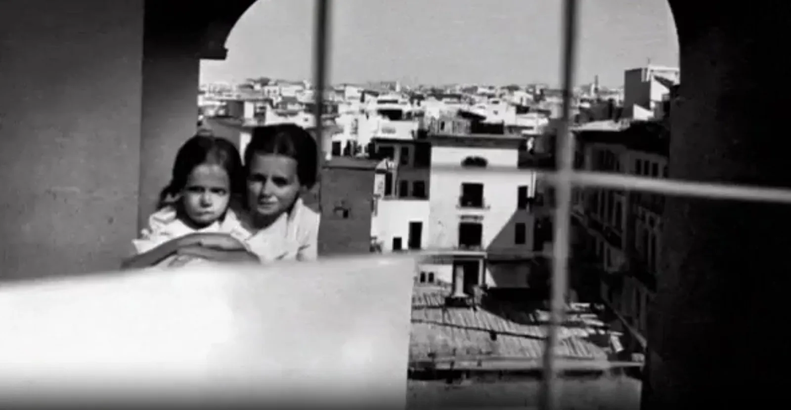
Among these holdings is a series of documentaries made by the US Department of the Interior in the 1950s, which depict infrastructure as a force reshaping landscapes in line with US American values. During the Cold War, these films were shown across the Global South as part of large-scale, US-funded development programmes. They served as propaganda promoting an environmental imaginary of the modern landscape, while masking the effects on local communities and laying the aesthetic groundwork for decades of enclosure, displacement, and dispossession that continue today.
Project focus
This work revisits that environmental imaginary by re-presenting a selection of these now-deteriorating films along the routes of their original circulation and lasting impact. It follows two sites: Oaxaca, Mexico, where the films were once screened, and Arizona, where Oaxacan workers now labour in the very fields mythologised in the original footage.
Method
Through re-projecting, re-filming, and re-framing the archival material, the project produces new political meanings and new publics within the American landscape. The result is a territorial continuum that points to an America beyond the US-centric image originally projected, and a re-mediation of American identity through landscapes and their images.





Villa Argentina by 3LHD
3LHD reconstructs Villa Argentina in Dubrovnik, tying a 1920 villa, later villas...
illustrarch Editoral Team3 Mins read
MoMA’s Full Disclosure Exhibition Traces Information Design from Hand-Drawn Data to AI Memories
Full Disclosure: The Edge of Information Design, curated by Paola Antonelli, is...
illustrarch Editoral Team2 Mins read

5 Red Flags NSW Households Miss When Switching Energy Providers
Switching energy providers can save NSW households money, but conditional discounts, the...
illustrarch Editoral Team3 Mins read

55 Albert Street by Jackson Clements Burrows
55 Albert Street by Jackson Clements Burrows is a 51 apartment building...
illustrarch Editoral Team2 Mins read


