

Urban Design Concepts: 7 Principles That Shape Cities
A clear look at the urban design concepts that shape cities, from density and walkability to mixed-use development, public space, and green infrastructure, with real-world examples.

Table of Contents Show
Urban design concepts are the city-scale principles that decide how neighborhoods function, from density and walkability to mixed-use zoning and a well-defined public realm. These ideas guide planners and architects in shaping places that balance livability, mobility, and sustainability, giving each city a coherent structure built around the people who use it every day.
City building is rarely about a single building. It is about the relationships between streets, blocks, open space, and the buildings that frame them. Strong urban design concepts turn those relationships into places that feel safe, walkable, and worth spending time in, which is why planners treat them as the connective tissue between architecture and town planning. According to the Urban Design Group, urban design works at the scale that sits between individual buildings and the wider city plan.
What Are Urban Design Concepts?
Urban design concepts are the recurring ideas that organize physical space at the scale of a district or a city, rather than a single plot. They cover how dense a place should be, how easily people can walk through it, how different uses mix together, and how public streets and squares hold a community together. Where building design answers the question of how one structure looks and performs, these concepts answer how dozens of buildings, streets, and open spaces add up to a working neighborhood.
The Congress for the New Urbanism frames much of this thinking around walkable blocks, a range of housing and job types, and accessible public space. Those ideas reward people, not just cars, and they remain the foundation of most contemporary planning work.
Getting these concepts right also shapes how a place is remembered. A coherent street wall, a generous square, or a green corridor can become the feature that gives a district its sense of urban identity long after the buildings themselves fade into the background.
🎓 Expert Insight
“First life, then spaces, then buildings. The other way around never works.” Jan Gehl, architect and urban design consultant
Gehl’s principle reframes the whole exercise: urban design concepts work best when they start from how people will use a place, then shape the open space around that activity, and only then settle the buildings.
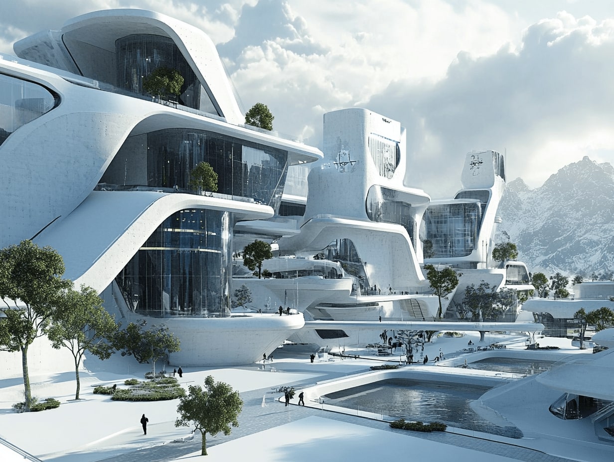
The Core Urban Design Concepts That Shape Cities
Most strong districts draw on a shared set of ideas. The table below summarizes the main urban design concepts, what each one means in practice, and a city that puts it to work.
| Urban design concept | What it means | Example |
|---|---|---|
| Density and compact growth | Concentrating people and activity to support transit and local services | Hong Kong transit-oriented districts |
| Walkability | Streets and blocks sized for safe, comfortable walking | Pontevedra car-free center, Spain |
| Mixed-use development | Housing, retail, and workplaces combined in one area | Vauban district, Freiburg |
| Public realm | Streets, squares, and parks treated as shared social space | Superblocks, Barcelona |
| Connectivity | Fine-grained street networks that link destinations directly | Portland small-block grid |
| Green infrastructure | Nature-based systems for stormwater, shade, and cooling | Singapore park connector network |
Density and Compact Growth
Density sits at the center of most urban design concepts because it decides what else becomes possible. When enough homes and jobs sit close together, frequent transit, corner shops, and street life all start to pay for themselves. Compact growth also protects open land at the edge of a city by directing new development inward instead of outward. The skill is calibrating it: too little density starves transit, while abrupt towers next to low houses break the human scale that makes a street pleasant.
📌 Did You Know?
Cities cover less than 2% of the Earth’s land surface but account for roughly 70% of global carbon emissions and a similar share of energy use, according to UN-Habitat. That concentration is exactly why density and the design concepts around it carry so much weight for climate goals.
Walkability and the 15-Minute City
Walkability measures how easy and pleasant it is to reach daily needs on foot. It depends on short blocks, continuous sidewalks, active ground floors, and protection from fast traffic. The popular 15-minute city idea takes this further, arguing that homes, work, schools, and shops should sit within a short walk or bike ride. Cities such as Paris have used this framework to reorganize street space and reduce car dependence, treating walkability as a measurable design goal rather than a slogan.
📐 Technical Note
Walkability is often quantified through intersection density. Well-connected urban grids commonly exceed 100 intersections per square mile, while sprawling, cul-de-sac layouts often fall below 50. Higher connectivity shortens walking routes and spreads traffic across many small streets instead of a few wide ones, a metric tracked in resources like the NACTO street design guides.
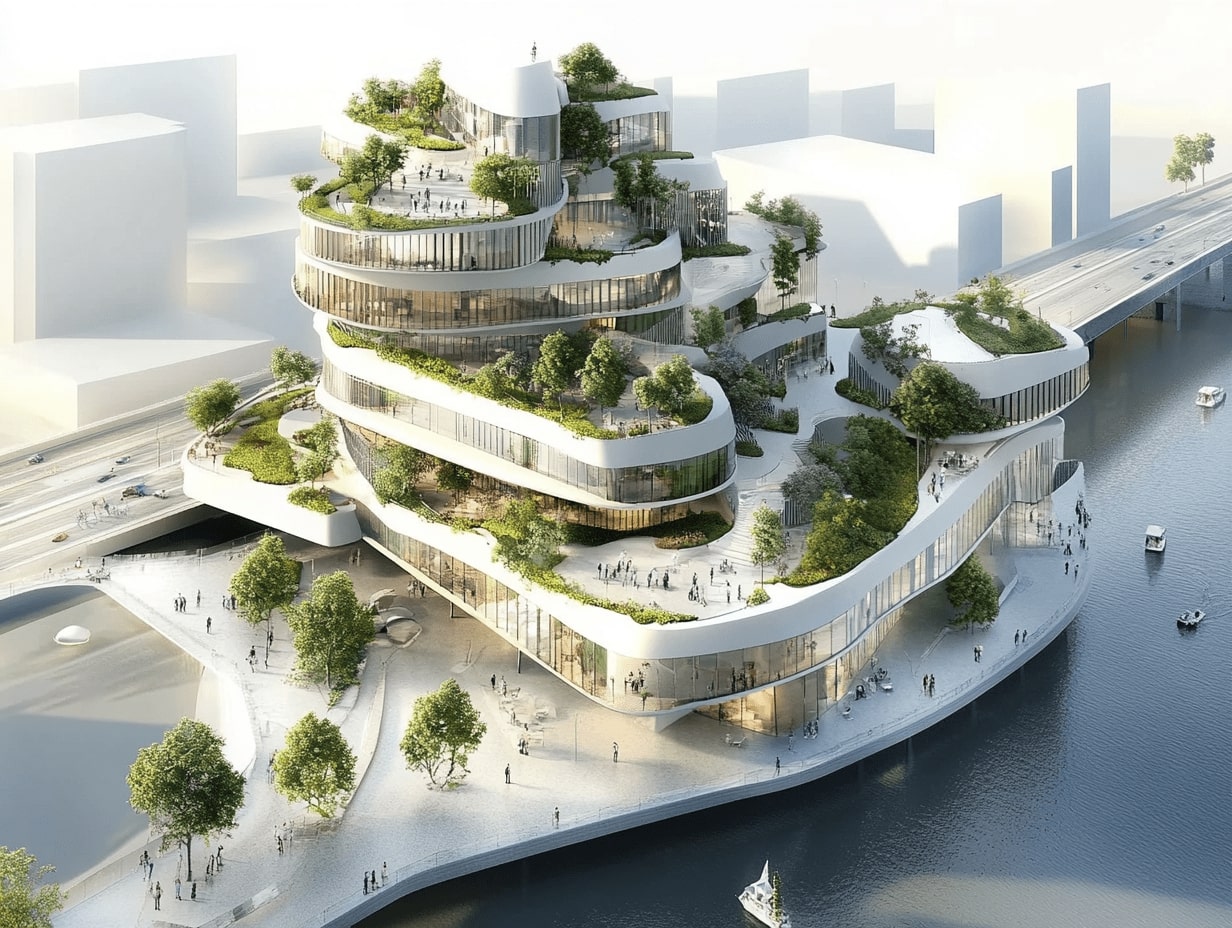
Mixed-Use Development
Mixed-use development places homes, offices, shops, and recreation in the same district instead of separating them into single-purpose zones. The result is a place that stays active across the day, since residents, workers, and visitors all use it at different hours. That activity supports local businesses and keeps streets watched and safe. Freiburg’s Vauban district is a frequently cited model, pairing dense housing with shops, schools, and a tram line so that most trips never require a car.
The Public Realm and Streets as Shared Space
The public realm is everything between buildings that people can use freely: streets, squares, parks, and waterfronts. Treating these as design subjects in their own right, rather than leftover space, separates a memorable district from a generic one. Barcelona’s Superblocks reclaim interior streets from through traffic and hand them back to residents as play areas and gathering spots. The quality of this shared ground shapes daily life as much as the buildings around it, a point explored further in this look at the role of architecture in public space design.
🔢 Quick Numbers
- About 68% of the world’s population is projected to live in urban areas by 2050, up from 55% today (United Nations DESA, 2018 World Urbanization Prospects).
- Cities generate over 70% of global carbon emissions while covering under 2% of land area (UN-Habitat).
- Buildings are responsible for roughly 40% of energy-related carbon emissions (U.S. Green Building Council).
Connectivity, Green Systems, and Resilient Growth
Connectivity describes how directly a street network links one place to another. Fine-grained grids with many small blocks give people choices, spread traffic, and make walking and cycling practical. Portland’s compact blocks are a standard reference for this kind of permeable layout. Coarse networks of wide arterials and dead-ends do the opposite, forcing every trip onto a few congested roads.
Green infrastructure works alongside connectivity to handle the environmental load of dense settlement. Street trees, rain gardens, green roofs, and linked park corridors manage stormwater, cut summer heat, and support biodiversity. Singapore’s park connector network threads green routes through a high-density city, and the same logic drives the spread of nature-integrated architecture across growing urban areas. Paired with green building strategies, these systems help districts stay cool, dry, and habitable as the climate shifts.
Putting the Concepts to Work in Practice
No real district applies these ideas in isolation. Density only works when it sits on a connected, walkable grid; mixed use only thrives when the public realm gives people a reason to linger. Strong projects layer the concepts together. Copenhagen built decades of cycling infrastructure, waterfront public space, and human-scale streets into a single coordinated strategy, and the payoff shows in how the city ranks for quality of life. The professional bodies tracking this work, including the American Institute of Architects and global agencies like UN-Habitat, now treat climate-responsive and equitable design as core measures of success.
For designers, the practical move is to test every proposal against the full set of concepts rather than a favorite few. A scheme can be dense and still fail if it ignores the street, or beautifully detailed yet isolated if it forgets connectivity. Looking at how peers handle these trade-offs, including emerging sustainable design trends and the broader shift toward technology-driven city design, helps ground the concepts in built reality. ArchDaily’s urban design project archive is a useful catalog of how these ideas land on the ground.
The Bigger Picture
It helps to remember that the most influential urban design concept is not a building type or a zoning rule, but a question: who is the city actually for? When density, walkability, mixed use, and public space all answer that question in favor of people on foot, the technical details tend to fall into place. The cities that feel best to live in are rarely the ones with the boldest skylines; they are the ones that got the space between the buildings right.


1 Comment


Parametric Architecture Design with Grasshopper for Rhino: 2026 Review
A focused 2026 review of Grasshopper for Rhino for parametric architecture design,...

Top Rated Landscape Architecture Schools in the US, Europe, and Beyond
From Harvard GSD and UC Berkeley to Wageningen University in Europe, the...

The World’s Most Iconic Supertall Towers: Engineering, Design, and Skyline
From the record-breaking Burj Khalifa to the spiraling Shanghai Tower and the...

Books by Rem Koolhaas Every Architect Should Read
Rem Koolhaas books have shaped contemporary architectural discourse like no other body...

I really loved how the article highlighted mixed-use developments! It’s amazing to think about how combining residential and commercial spaces can make our cities more livable. I live in a neighborhood that has a small shopping center with apartments above, and it definitely makes things convenient. Plus, it encourages more walking instead of driving!