

Online 3D Terrain Mapping Tools for Urban and Landscape Design in 2025
A curated guide to the best online 3D terrain mapping tools in 2025, helping architects and planners visualize elevation, topography, and site context.

Table of Contents Show
Creating realistic 3D terrain maps has become a cornerstone of modern urban planning, landscape architecture, and architectural visualization in 2025. As projects grow in scale and complexity — from master-planning neighborhoods to simulating topography for environmental design — having accessible, web-based tools that produce high-quality digital elevation models (DEMs) and interactive terrain models is more important than ever. Below is a curated selection of some of the best online 3D terrain mapping tools and platforms that architects, planners, and GIS professionals are using this year to shape thoughtful, data-driven designs.

ArcGIS Online 3D Terrain
ArcGIS Online (3D Terrain module) offers a powerful, cloud-based GIS terrain solution geared toward professional users who need reliable global (or regional) elevation data and seamless integration within a broader GIS ecosystem. Using high-resolution global terrain and DEM datasets, users can create detailed terrain surfaces that reflect real-world topography — ideal for analyzing slope, watershed boundaries, site context, and elevation variation before design begins. Because ArcGIS Online is part of the broader ArcGIS ecosystem, it integrates naturally with other GIS layers like zoning, land use, hydrology, and infrastructure. This makes it especially useful for architects or urban designers working on larger-scale developments where site analysis must consider context beyond just surface topography.

Beyond mere terrain display, the 3D Terrain module facilitates accurate site-analysis workflows, enabling planners to evaluate visibility, gradients, terrain constraints, or hillside development feasibility early in design. For professionals accustomed to desktop GIS software, this cloud-based extension also means easier collaboration and sharing with team members or stakeholders — without the need for everyone to install heavy-duty GIS software. For urban and landscape design projects requiring dependable elevation data, ArcGIS Online 3D Terrain remains one of the strongest options available today.
MapTiler Cloud 3D Maps
MapTiler Cloud stands out among web-based mapping tools for its combination of user friendliness, visual quality, and flexibility in 3D terrain and mapping delivery. The platform offers high-resolution terrain and satellite imagery globally, allowing designers to build realistic terrain models that can be embedded into websites, apps, or presentations. Its 3D terrain and building-extrusion capabilities make it well-suited for landscape architects and planners who need to communicate spatial designs to non-technical stakeholders or clients without exposing them to complex GIS workflows.

MapTiler Cloud also supports customizable styling, enabling users to tailor map appearance depending on usage — for example, emphasizing elevation shading, terrain contours, or topographic textures for landscape-focused designs, or simplifying visuals for clarity in urban planning presentations. Because it runs in the cloud and outputs web-ready visuals, MapTiler is especially useful for public engagement platforms or collaborative design review sessions. For teams valuing accessibility and presentation-readiness over raw analysis power, MapTiler Cloud 3D Maps is a versatile choice in 2025.
JCallura 3D Terrain Viewer
JCallura 3D Terrain Viewer offers an intuitive, lightweight interface for quick 3D terrain visualization and early site-analysis. It’s particularly useful when you need to perform fast terrain checks, run concept-level topographic studies, or generate simple 3D landscape visuals without committing time to fully-featured GIS software. As such, JCallura is great for early-design phases, conceptual studies, or preliminary presentations when the goal is to understand site morphology and elevation differences rather than conduct deep analytics.
Because it operates online and doesn’t require heavy data infrastructure, JCallura is accessible for small firms, student projects, or individuals who want to test terrain-influenced design decisions — such as building placement, views, and slope-responsive layouts — quickly and visually.

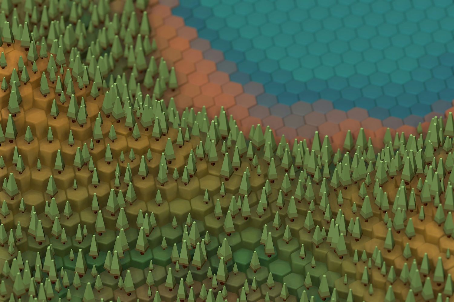
3D Map Generator (Online)
For designers who care about visual impact — not just analytical insight — the web-based 3D Map Generator converts height-maps or DEMs into polished, stylized 3D terrains ideal for presentations. Rather than focusing on purely scientific output, it emphasizes visually rich landscape representation, which is excellent for competition boards, client presentations, conceptual design reviews, and storytelling phases of architectural projects.
This approach works well when the goal is to convey a strong “sense of place” rather than raw data. Hills, valleys, ridges, and slope transitions become easy to interpret visually, making the tool ideal for landscape proposal imagery, masterplan visuals, or feasibility demonstrations where terrain is a key character in the design narrative.
Why These Tools Matter in 2025 for Urban & Landscape Design
In 2025, the demand for 3D capable mapping platforms is shaped by three overlapping needs: high-quality spatial data, compelling visual storytelling, and streamlined collaboration. Urban design, landscape strategies, ecological sensitivity, and public engagement increasingly rely on tools that provide:
● Accessible elevation and global terrain datasets without the need for local storage
● Minimal learning curve and fast visualization of slopes, views, and site constraints
● Web-based sharing workflows that support multi-disciplinary coordination
● Flexible outputs suitable for both early concept exploration and decision-making
Because these tools combine intuitive design workflows with real-world geographic accuracy, they are essential to creating environments that are better adapted to climate change, urban growth, and societal needs.


Interior AI Review: Turn One Room Photo Into 16 Renders Across 50+ Design Styles
A working review of Interior AI, the photo based redesign tool built...

How Social Media Managers Use Seedance 2.0 to Keep Up with Daily Content Demands
I manage social accounts for three brands right now, and the honest...

Renee del Gaudio: The Design Philosophy Behind Her Best-Known Colorado Houses
Renee del Gaudio, A closer look at the Boulder architect behind Goatbarn...

Designing Adaptive Homes for People Living With Cerebral Palsy
Table of Contents Show Understanding Cerebral PalsyAdvantages of Adaptive Home Design for...

Leave a comment