

General Arrangement Drawings in Architecture: The Backbone of Clear Design Communication
General Arrangement Drawings explained: what they are, when to use them, how to produce and read GAs, with BIM workflows, coordination tips, and checklists.
 Sinan Ozen24 December 20253 Mins read252
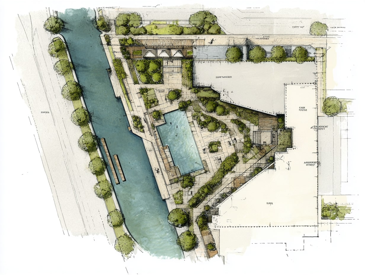
Table of Contents Show
General Arrangement Drawings in Architecture are the everyday workhorses of our projects, concise, coordinated, and readable at a glance. When clients ask how all the parts fit together, we point to the GA set. In this text, we unpack what GA drawings are, how we produce them, and how to read them with confidence, whether you’re an architect, consultant, contractor, or informed client.
What GA Drawings Are and When They’re Used
Definition and Scope
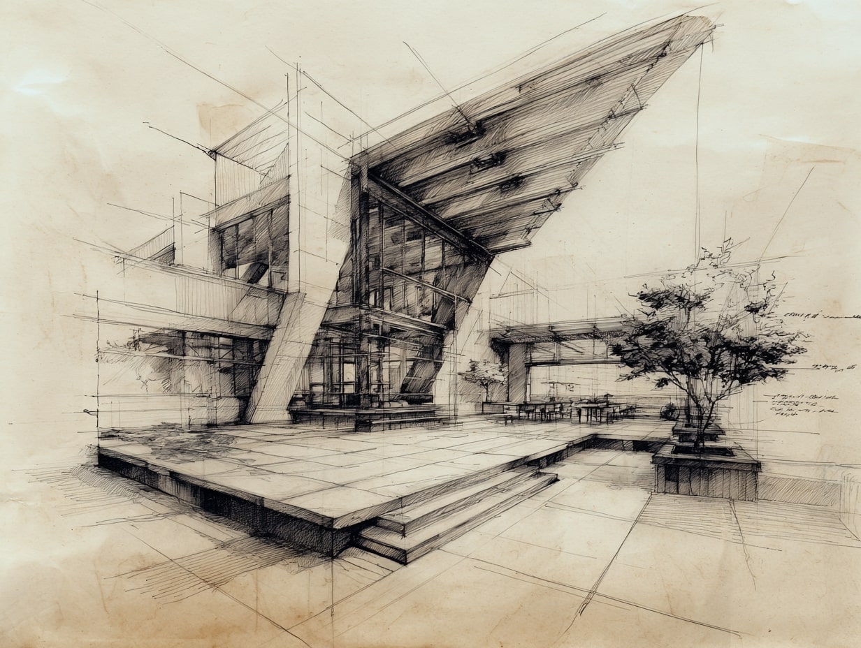
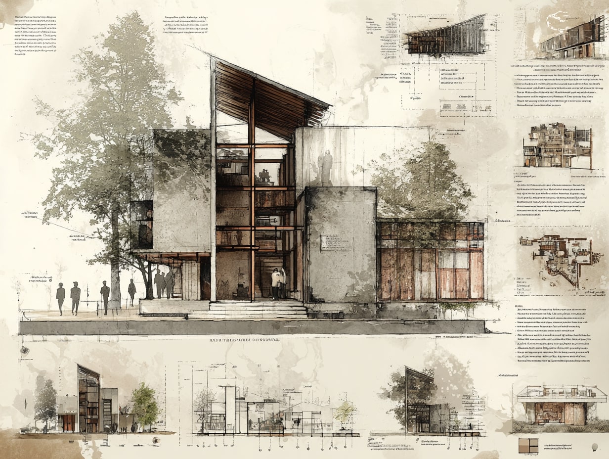
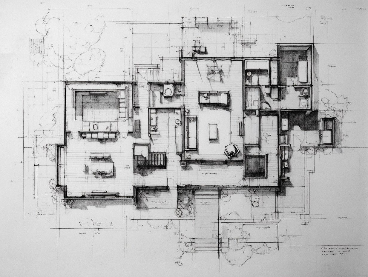
We use General Arrangement Drawings in Architecture to depict the overall layout, plans, elevations, and sections that set out size, form, relationships, and key dimensions. They’re not detail drawings: they set the big picture so everyone understands spaces, adjacencies, and primary systems.
Role Across Design Stages
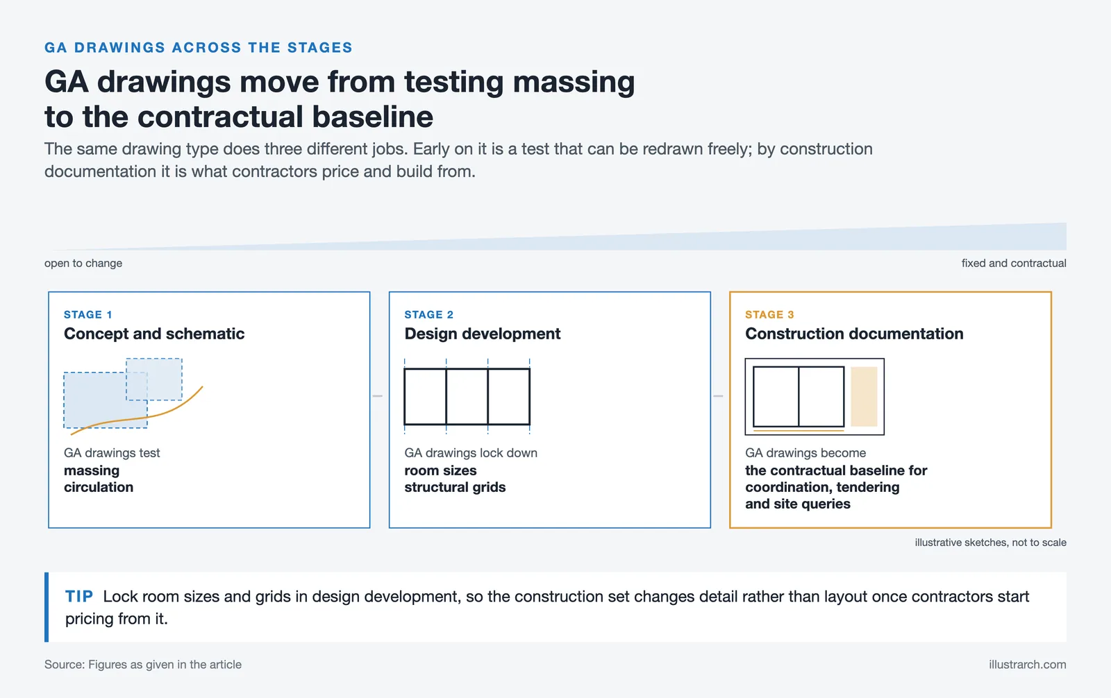
In concept and schematic design, GA drawings test massing and circulation. By design development, they lock down room sizes and structural grids. During construction documentation, they become the contractual baseline for coordination, tendering, and site queries.
Stakeholders and Use Cases
Clients read GAs to understand functionality and flow. Engineers align their systems to GA datums. Contractors price and sequence work from them. Authorities review GAs for code compliance. For example, a hospital GA clarifies clinical adjacencies, while a school GA fixes classroom layouts before fit‑out details.
Free Online Architectural Scale Converter
Convert a measurement taken off a drawing into a real-world dimension, or the other way round.
Imperial input accepts feet and inches, for example 12' 6 1/2".
You measured something on a drawing and you know what it is in reality. This works out the scale the drawing was produced at.
Straight metric to imperial conversion for lengths, areas and volumes.
Give the real size of what you are drawing and the sheet you are plotting on; this picks the largest standard scale that still fits.
Reprinting a drawing at a different scale, or dropping a sheet down a size? These are the percentages to type into the plotter or copier.
Scale to scale
Sheet to sheet
Real dimensions in, model dimensions out — plus the area and volume factors that catch everyone out.
Sanity check
- Person (standing) —
- Door height —
- Storey height —
- Stair riser —
- Car (length) —
What one unit on the sheet stands for at every common drawing scale.
| Scale | Ratio | 1 mm on paper | 1 m in reality | Typically used for |
|---|---|---|---|---|
| 1:1 | 1:1 | 1 mm | 1 m | Full size — component and mock-up drawings |
| 1:2 | 1:2 | 2 mm | 50 cm | Half size — joinery and fabrication details |
| 1:5 | 1:5 | 5 mm | 20 cm | Construction details, connections |
| 1:10 | 1:10 | 1 cm | 10 cm | Details, wall build-ups, furniture |
| 1:20 | 1:20 | 2 cm | 5 cm | Enlarged plans: kitchens, bathrooms, stairs |
| 1:25 | 1:25 | 2.5 cm | 4 cm | Enlarged plans (metric alternative to 1:20) |
| 1:50 | 1:50 | 5 cm | 2 cm | Floor plans, sections and elevations |
| 1:75 | 1:75 | 7.5 cm | 1.3333 cm | Large residential plans |
| 1:100 | 1:100 | 10 cm | 1 cm | General arrangement plans, sections, elevations |
| 1:125 | 1:125 | 12.5 cm | 8 mm | Large building general arrangement |
| 1:200 | 1:200 | 20 cm | 5 mm | Large buildings, roof plans |
| 1:250 | 1:250 | 25 cm | 4 mm | Large building blocks, site layouts |
| 1:500 | 1:500 | 50 cm | 2 mm | Site plans, landscape layouts |
| 1:1000 | 1:1000 | 1 m | 1 mm | Site and masterplan drawings |
| 1:1250 | 1:1250 | 1.25 m | 0.8 mm | Location plans (UK planning) |
| 1:2000 | 1:2000 | 2 m | 0.5 mm | Urban design, district plans |
| 1:2500 | 1:2500 | 2.5 m | 0.4 mm | Location and context plans |
| 1:5000 | 1:5000 | 5 m | 0.2 mm | City-scale mapping |
| 1:10000 | 1:10000 | 10 m | 0.1 mm | Regional and territorial mapping |
| 12" = 1'-0" | 1:1 | 1 mm | 1 m | Full size |
| 6" = 1'-0" | 1:2 | 2 mm | 50 cm | Half size details |
| 3" = 1'-0" | 1:4 | 4 mm | 25 cm | Large construction details |
| 1-1/2" = 1'-0" | 1:8 | 8 mm | 12.5 cm | Details and sections |
| 1" = 1'-0" | 1:12 | 1.2 cm | 8.3333 cm | Details, wall sections |
| 3/4" = 1'-0" | 1:16 | 1.6 cm | 6.25 cm | Enlarged plans, millwork |
| 1/2" = 1'-0" | 1:24 | 2.4 cm | 4.1667 cm | Enlarged plans, interiors |
| 3/8" = 1'-0" | 1:32 | 3.2 cm | 3.125 cm | Small building plans |
| 1/4" = 1'-0" | 1:48 | 4.8 cm | 2.0833 cm | Standard residential floor plans |
| 3/16" = 1'-0" | 1:64 | 6.4 cm | 1.5625 cm | Larger floor plans |
| 1/8" = 1'-0" | 1:96 | 9.6 cm | 1.0417 cm | Commercial floor plans |
| 3/32" = 1'-0" | 1:128 | 12.8 cm | 7.8125 mm | Very large floor plans |
| 1/16" = 1'-0" | 1:192 | 19.2 cm | 5.2083 mm | Overall building / key plans |
| 1/32" = 1'-0" | 1:384 | 38.4 cm | 2.6042 mm | Site and campus plans |
| 1" = 10' | 1:120 | 12 cm | 8.3333 mm | Detailed site plans |
| 1" = 20' | 1:240 | 24 cm | 4.1667 mm | Site plans, grading |
| 1" = 30' | 1:360 | 36 cm | 2.7778 mm | Site plans |
| 1" = 40' | 1:480 | 48 cm | 2.0833 mm | Large site plans |
| 1" = 50' | 1:600 | 60 cm | 1.6667 mm | Subdivision layouts |
| 1" = 60' | 1:720 | 72 cm | 1.3889 mm | Large site and civil plans |
| 1" = 100' | 1:1200 | 1.2 m | 0.8333 mm | Masterplans |
| 1" = 200' | 1:2400 | 2.4 m | 0.4167 mm | Regional and civil mapping |
No scales match your filter.
Core Elements and Graphic Conventions
Scale, Grids, Levels, and Datums
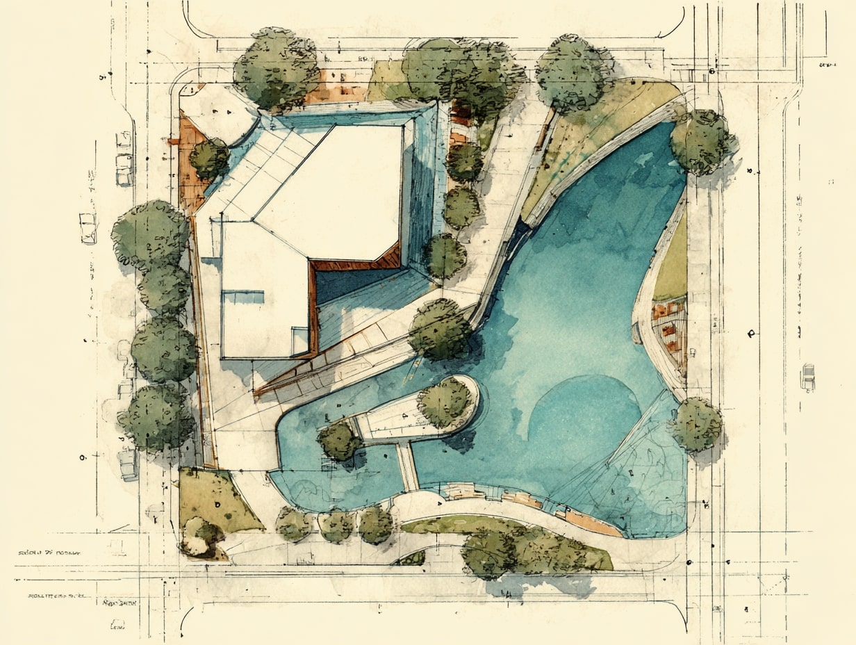
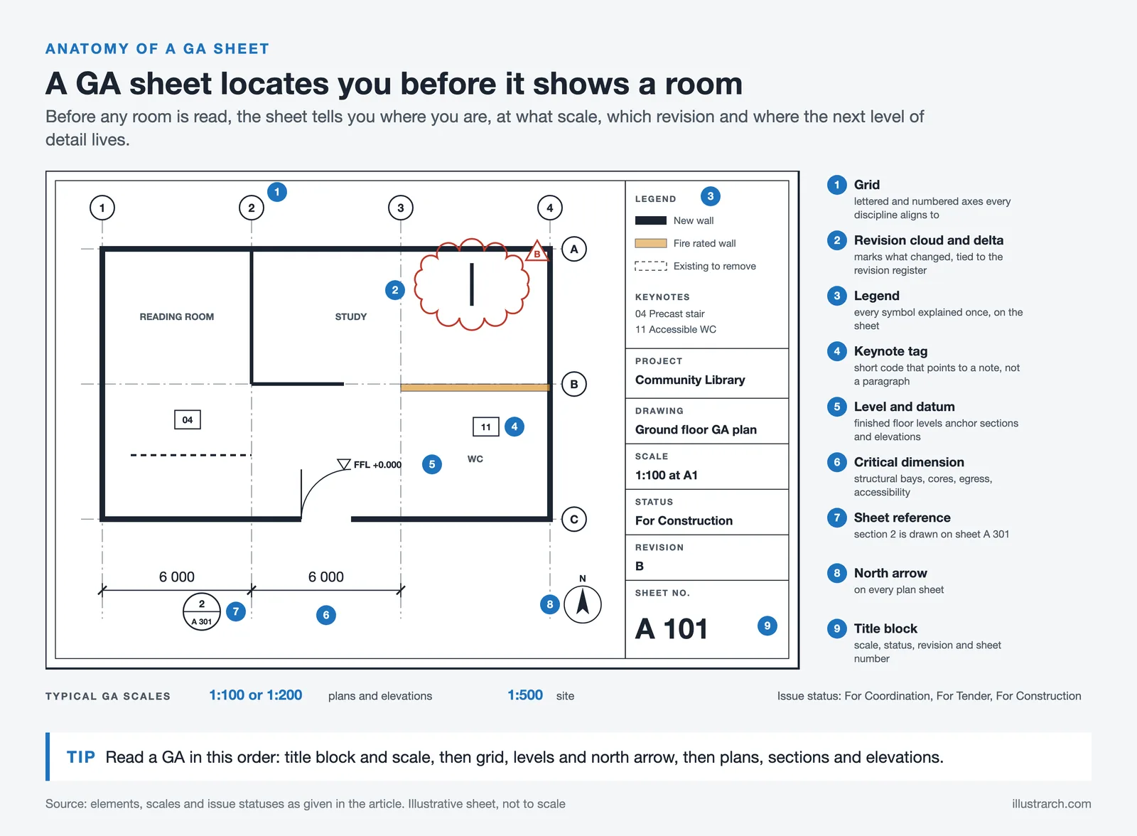
We select scales that match purpose, 1:100 or 1:200 for plans/elevations; 1:500 for site. Structural grids, levels, and reference datums anchor coordination so architectural, structural, and MEP drawings align without guesswork.
Dimensions, Tolerances, and Annotation Standards
Critical dimensions govern structure, cores, egress, and accessibility. We note tolerances where fit matters, façade modules, door sets, equipment clearances, and follow a clear annotation style: consistent text sizes, leaders, and abbreviations.
Symbols, Legends, and Referencing to Other Sheets
Symbols must be unambiguous and explained in a legend. We use keynotes and sheet references (e.g., door schedule, detail callouts) to link GA drawings to sections, details, and schedules, reducing repetition and errors.
Producing and Issuing GA Drawings
Model‑To‑Documentation Workflow (CAD/BIM)
Our BIM or CAD model drives the GA set. We control views with reference planes and scopes, then place sheets through automated publishing to minimize manual transposition and maintain model‑to‑sheet fidelity.
View Control: Layering, Lineweights, and View Templates
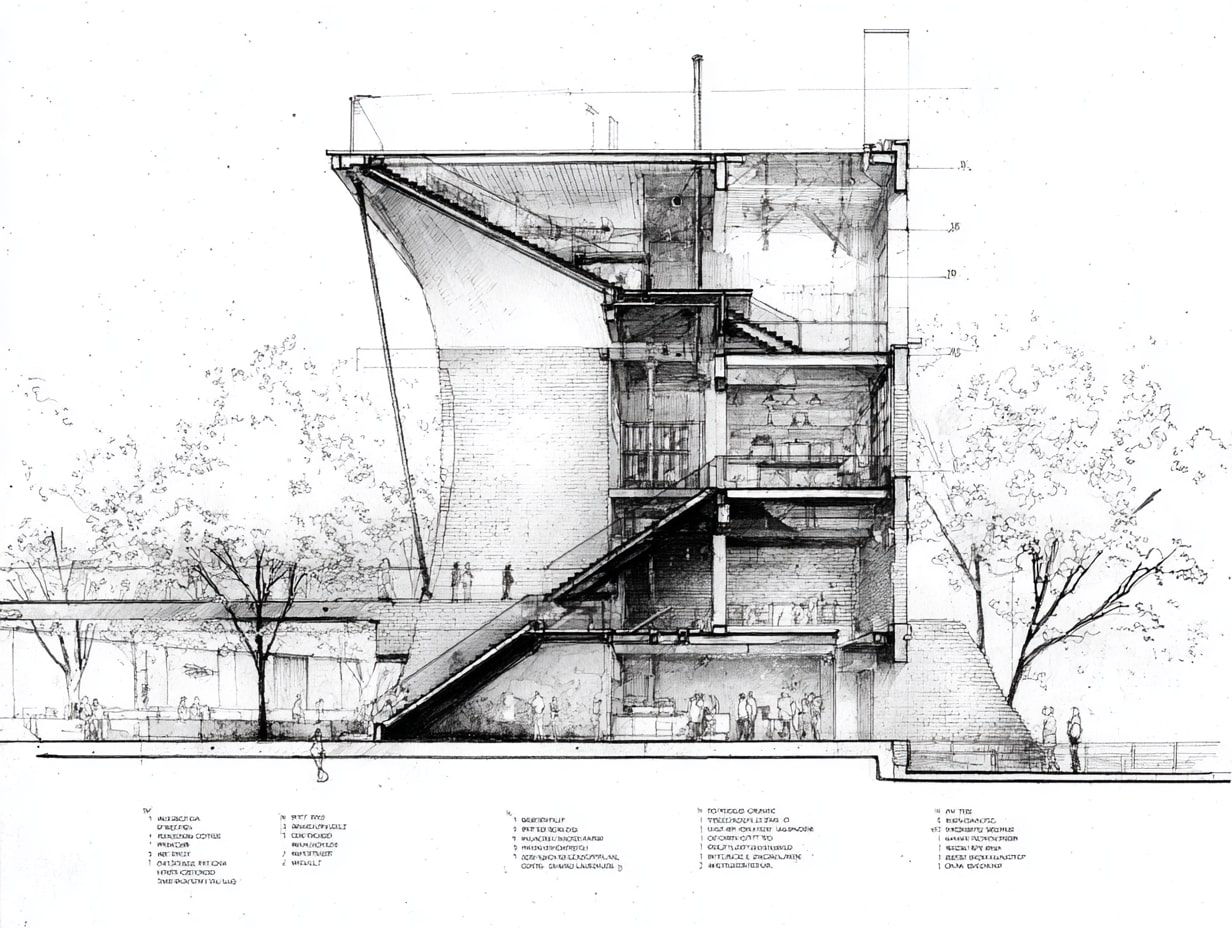
Discipline‑based layers, clear lineweight hierarchies, and view templates keep drawings legible. Primary edges read bold: secondary information recedes. Hatches, poche, and transparency are used sparingly for clarity.
Sheet Setup, Title Blocks, Revisions, and Issue Protocols
We standardize title blocks, drawing numbers, and north arrows. Revisions are tracked with clouds and deltas, tied to a register. Issue protocols (For Coordination, For Tender, For Construction) prevent the wrong set circulating.
Multidisciplinary Coordination and QA
Aligning Architectural, Structural, and MEP Systems
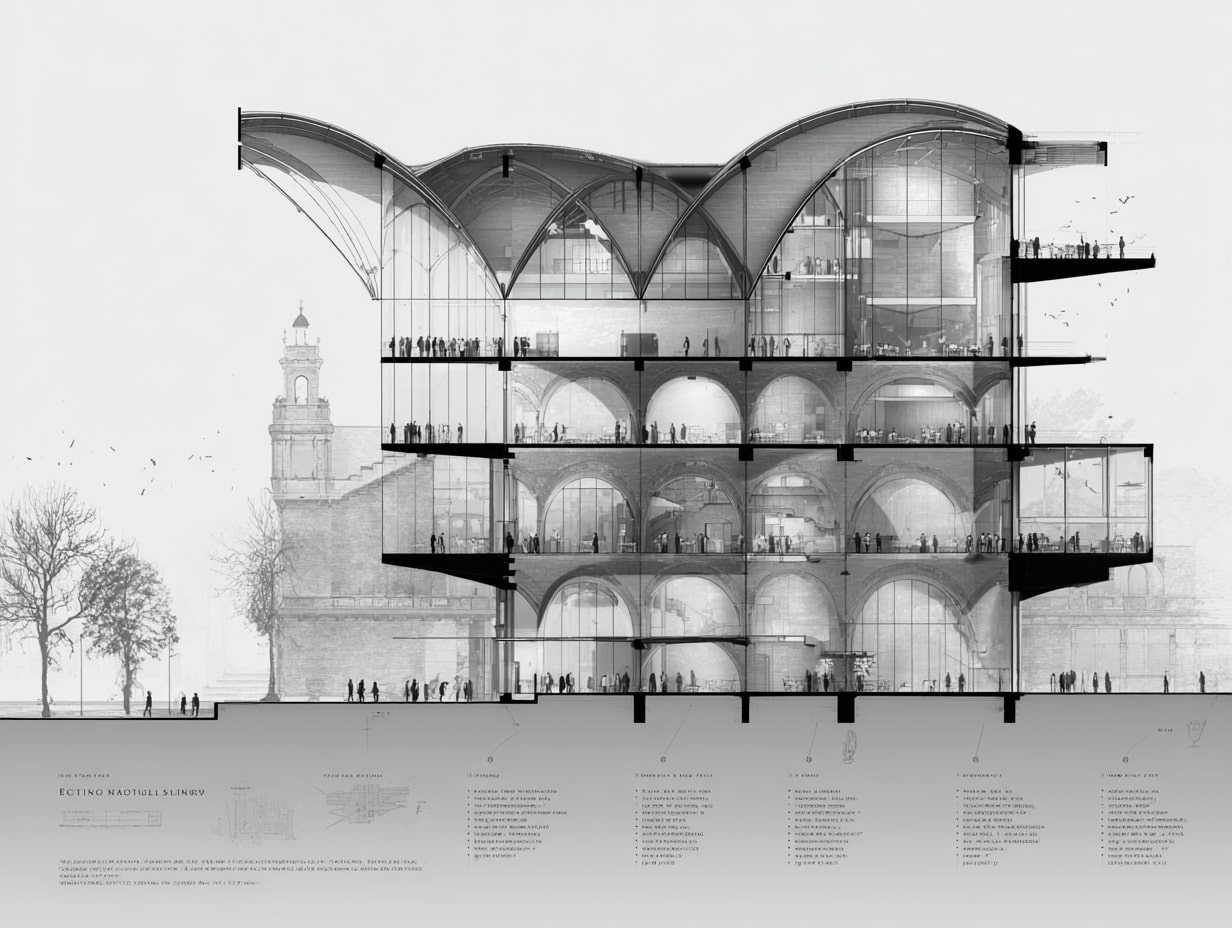
We coordinate cores, beams, risers, and plant rooms against the GA’s grid and levels. Early alignment avoids late redesigns, think beam depths clearing duct runs and riser positions matching bathroom stacks.
Clash Avoidance, Clearances, and Tolerance Strategies
We reserve service zones and embed clearance boxes around equipment. Tolerance stacking is considered at interfaces, façade to structure, ceiling to services, so the built reality matches the GA intent.
Review Cycles, Comments, and Change Management
Regular coordination meetings, marked‑up PDFs, and tracked responses keep decisions visible. Change logs align revisions to decisions, ensuring what’s on site matches the latest issued GA drawings.
How To Read and Review GA Drawings
Interpreting Plans, Elevations, Sections, and Key Dimensions
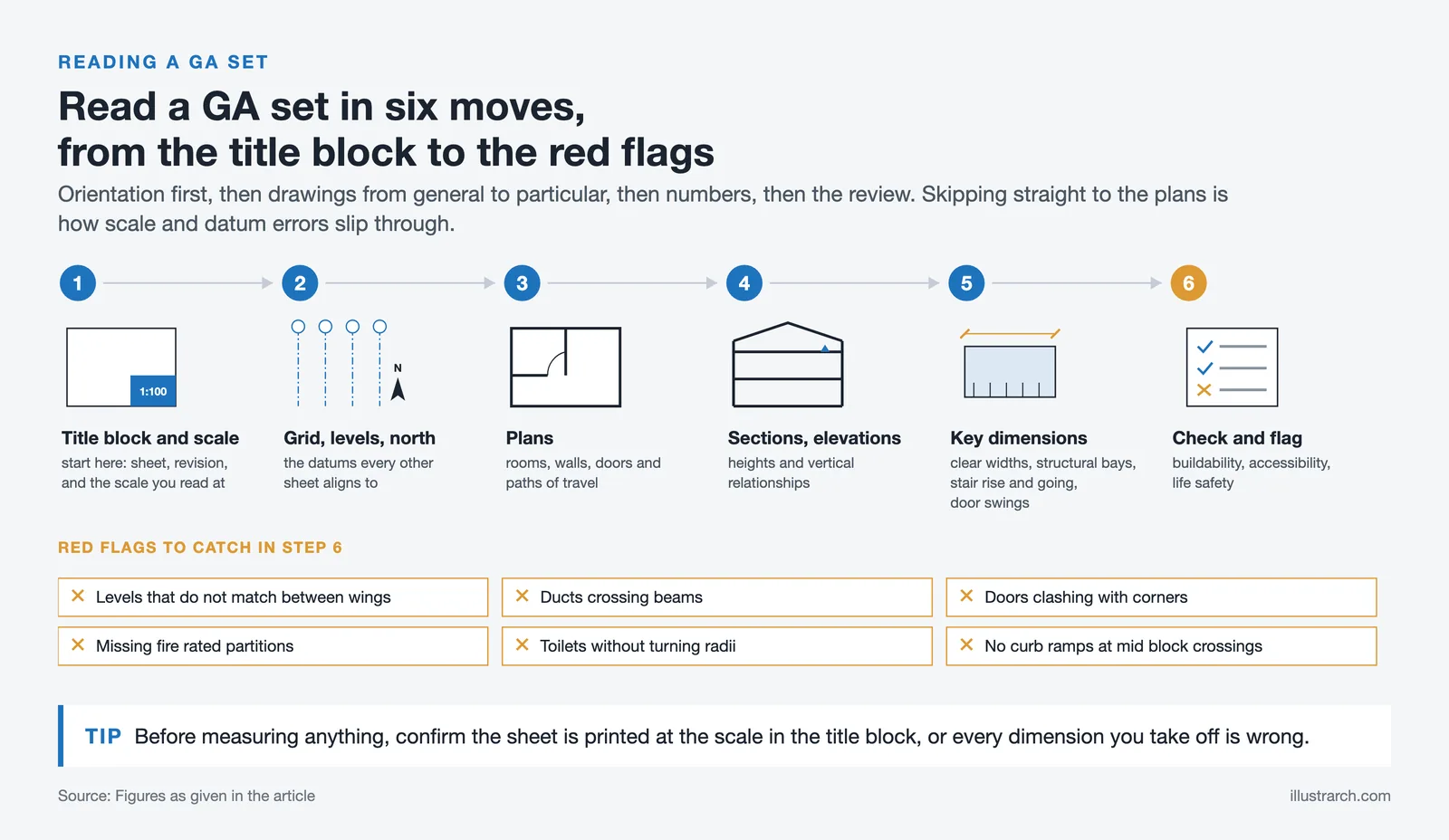
Start with the title block and scale. Read the grid, levels, and north arrow: then move through plans to sections and elevations. Verify key dimensions, clear widths, structural bays, stair rises/going, and door swings.
Checking Buildability, Accessibility, and Code Compliance
We flag logistics (material sizes, crane reach), accessibility (clear floor spaces, slopes, turning circles), and life safety (exits, compartmentation). For an urban experience, say a transit plaza, GAs test wayfinding, sightlines, seating, and canopy coverage.
Common Red Flags To Catch Early
Mismatched levels between wings, ducts crossing beams, doors clashing with corners, missing fire‑rated partitions, and toilets without turning radii. Another example: streetscape GAs that forget curb ramps at mid‑block crossings.
Best Practices and Common Pitfalls
Prioritize Clarity and Information Hierarchy
We emphasize what matters most: structure, cores, paths of travel, and room names. Less vital information fades. If a note competes with a dimension, we relocate or restyle it.
Coordinate Notes, Tags, and Referencing Consistently
One language across sheets, identical tags, abbreviations, and keynote codes. Cross‑references should jump cleanly to sections, details, and schedules. Inconsistent tagging multiplies RFIs.
Avoid Overdetail: Keep GA Distinct From Detail Drawings
GAs show the “what and where,” not every “how.” We avoid filling sheets with joinery screws or sealant types. Examples: a campus quad GA establishes paving extents and tree positions: details handle joints and finishes.
Conclusion
General Arrangement Drawings in Architecture are the shared map that keep teams aligned from concept to construction. When we respect scale, datums, and clear annotation, and coordinate relentlessly across disciplines, GAs reduce risk and speed decisions. The payoff is felt on site and in the city: cleaner bids, fewer clashes, and better places, whether it’s a hospital ward layout, a school addition, or the urban experience of a plaza with intuitive wayfinding and accessible edges.








Futuro House Production Revived in Finland After Decades-Long Hiatus
A Facebook listing for abandoned moulds led to the first new Futuro...
 illustrarch Editoral Team3 Mins read

Building Your Dream Home in NSW: What You Should Know About Montgomery Homes
Montgomery Homes has been building across Sydney, Newcastle, the Hunter, Wollongong and...
illustrarch Editoral Team4 Mins read

Designing a Home Theater: Where Drapery Fits Into the Plan
In a media room the curtains are a performance layer, not decoration....
illustrarch Editoral Team3 Mins read

Oscar Niemeyer’s Cathedral of Brasília: The Hyperboloid Concrete Hymn
The Cathedral of Brasília reads as a single gesture, yet it stood...
 Furkan Sen7 Mins read


Leave a comment