

Ahmedabad Civic Body Plans 3D Digital Twin of Entire City
AMC plans a 625 sq km GIS survey giving 25 lakh properties digital IDs and mapping 5,200 km each of roads and utilities.
 illustrarch Editoral Team13 September 20262 Mins read62

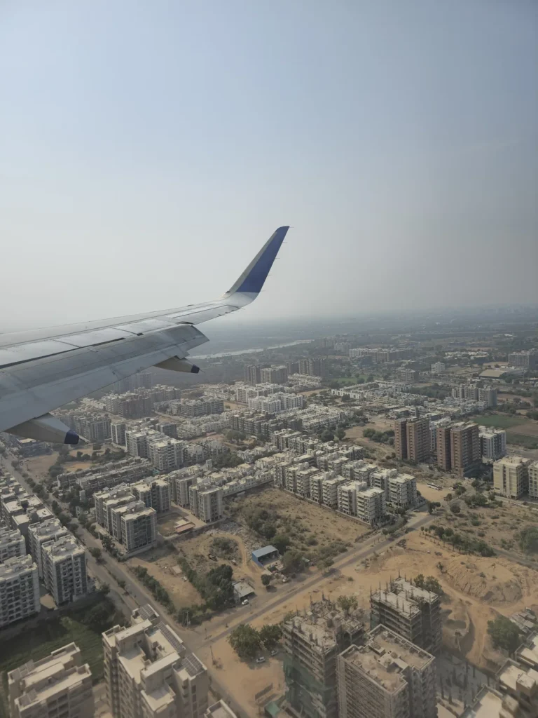
The Ahmedabad Municipal Corporation is preparing a fresh city-wide mapping exercise that will turn the city into a detailed digital replica, roughly a decade after its last such survey. The plan calls for scanning around 625 square kilometres covering Ahmedabad and its outskirts, producing a 3D digital twin that officials say will guide planning, tax assessment and emergency response.
Door-to-door survey of 25 lakh properties
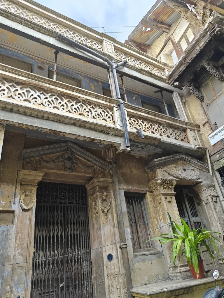
At the centre of the effort is a door-to-door survey of nearly 25 lakh properties, each of which will be geo-coded and given what officials call a digital door ID. The identifier is meant to help AMC keep property records current and cross-check tax assessments, though it will not serve as proof of ownership.
Mapping roads and underground infrastructure
The survey will also stretch across the city’s infrastructure network. Around 5,200 km of roads are to be captured using mobile LiDAR units and 360-degree street imagery, while a parallel 5,200 km of underground lines, including water pipes, drainage and stormwater channels, gas lines and cabling, will be charted as well. An aerial LiDAR and photographic pass over the 625 sq km zone will rely on a support network of 240 ground-control points, split between 40 primary and 200 secondary markers, fixed through differential GPS surveys, according to the Times of India.
Building the 3D digital twin
Around 500 significant buildings are set to receive highly detailed 3D models, and the broader dataset will include elevation models, land-use maps and high-resolution aerial imagery. AMC intends to build 12 GIS-based applications drawing on this data for uses spanning town planning, disaster response, health services and a public-facing geoportal, and plans to link the new system with existing platforms such as property tax records, its complaint redressal system and SCADA.
To keep the digital twin current, the civic body plans to bring in satellite imagery, drone footage and machine-learning tools capable of automatically flagging changes on the ground during a five-year maintenance phase.
Coverage of the initiative has varied slightly on timing: Trade Brains describes the gap since the last mapping project as roughly 12 years, while the Times of India puts it at nearer 10.
Officials have framed the exercise primarily as a planning and governance tool rather than a real estate driver. As one report on the project noted, better data on infrastructure could help residents and developers understand what exists around a property, but any rise in value would depend on whether the mapping eventually translates into upgraded roads, drainage and utilities, not on the survey itself.
No start date or contractor has been specified in available reporting, and further details on implementation are expected as AMC moves the project forward.



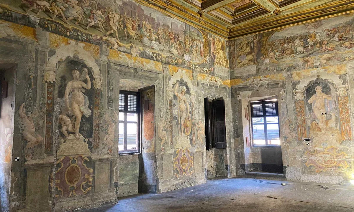
Restorers Uncover 16th-Century Murals Hidden by Nuns in Villa Silvestri Rivaldi
Conservators in Rome are uncovering 16th-century murals hidden for 300 years inside...
illustrarch Editoral Team3 Mins read

A New Book Records the 1970s Interiors of Ebony and Jet’s Chicago Headquarters
820 Ebony/Jet collects Barbara Karant's photographs of the empty Johnson Publishing Company...
illustrarch Editoral Team2 Mins read

A 2,500-Year-Old Solar Observatory in Puebla Is the First Group E Complex Found Outside the Maya Area
Archaeologists working for Mexico's INAH have confirmed that two platforms at Teteles...
illustrarch Editoral Team2 Mins read
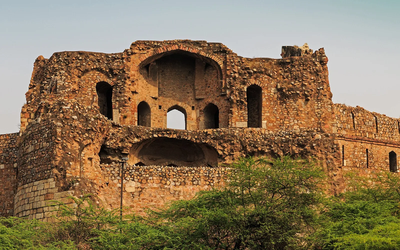
India Art, Architecture & Design Biennale 2026: Ministry of Culture Opens Delhi Monuments
Delhi's monuments, including Purana Quila and the Red Fort, will host the...
illustrarch Editoral Team2 Mins read


Leave a comment