

Urban Design
Urban design principles and projects shaping livable, sustainable cities fill this category. illustrarch examines streets, plazas, districts, and shared space strategies through built examples and clear analysis. Read about density, mobility, and placemaking to understand how design decisions at city scale affect everyday life.

Concentric Zone Model: Burgess’s Five Rings Explained
Burgess drew 1925 Chicago as five rings spreading from the business district. What each zone held, where the model still describes cities, and...
 illustrarch Editoral Team9 Mins read
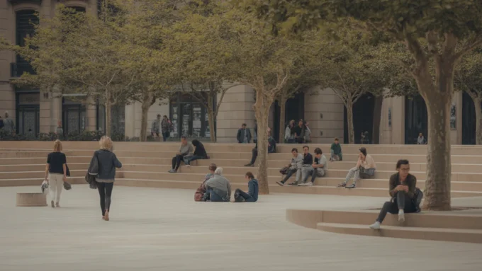
The Third Place: Oldenburg’s Eight Characteristics Explained
Cafés, pubs, barber shops and libraries do social work that homes and offices cannot. What makes a third place work, and why so...
illustrarch Editoral Team7 Mins read

andre kong studio and Wayward Turn Old Lampposts into Solar-Powered Waylamps in Barnet
Four Waylamps by andre kong studio and Wayward reuse old lampposts as solar-lit landmarks, seats and signposts along the 125 bus route in...
illustrarch Editoral Team1 Mins read

Neom Stadium, the Elevated 2034 World Cup Venue, Reportedly Shelved by Saudi Arabia
Two sources told Reuters that Saudi Arabia has put the 46,000 seat Neom Stadium on hold indefinitely. Officials have not confirmed it, and...
illustrarch Editoral Team2 Mins read

Danish Architecture Center Marks Jan Gehl’s 90th Birthday with Cities for People Exhibition
DAC in Copenhagen celebrates Jan Gehl's 90th birthday with Cities for People, an interactive exhibition built around his 12 quality criteria for public...
illustrarch Editoral Team2 Mins read

ZHA-Led Consortium Presents Benghazi 2050 City Planning Framework
A seven-firm consortium including ZHA presented a spatial plan and digital twin platform for Benghazi's growth through 2050 at a September planning event.
illustrarch Editoral Team2 Mins read

Ahmedabad Civic Body Plans 3D Digital Twin of Entire City
AMC plans a 625 sq km GIS survey giving 25 lakh properties digital IDs and mapping 5,200 km each of roads and utilities.
illustrarch Editoral Team2 Mins read

Mixed-Use Development vs Single-Use Zoning: The Urban Planning Debate
Urban planning has long debated mixed-use development versus single-use zoning. This comparison covers their history, walkability, tax impact, and trade-offs, with sourced data...
 Sinan Ozen4 Mins read


