

ZHA-Led Consortium Presents Benghazi 2050 City Planning Framework
A seven-firm consortium including ZHA presented a spatial plan and digital twin platform for Benghazi's growth through 2050 at a September planning event.
 illustrarch Editoral Team30 September 20262 Mins read104
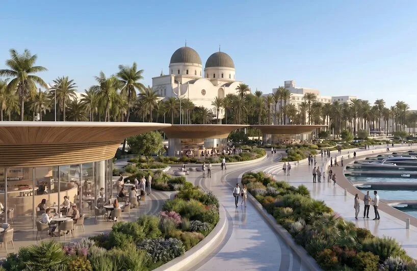
A multidisciplinary consortium led in part by Zaha Hadid Architects has presented a long-term development framework for Benghazi, Libya, pairing a citywide spatial strategy with a digital modelling platform meant to guide growth through 2050. The proposal, called Benghazi 2050: Next Generation City Plan, was shown at the Global Competitive Urban Planning Initiative in Benghazi, held from September 6 to 8, 2026.
The plan was developed jointly by A&O TEC, Prior+Partners, Zaha Hadid Architects (ZHA), Homa, Buro Happold, Systematica and Fichtner, with web hosting and deployment handled by Silicon Shore. Rather than proposing a single building or district, the team framed its submission as a coordination system: a way of aligning transport, housing, industry, ecology and heritage as Benghazi undergoes what the consortium describes as a period of substantial infrastructure investment and urban renewal.
A Spatial Strategy Built Around Benghazi’s Identity
The plan’s spatial component starts from an assessment of Benghazi’s existing urban character and collective memory, aiming to knit together the city’s historic core, its Mediterranean waterfront and its expanding residential districts rather than treating them as separate zones. Public transport lines and pedestrian corridors are proposed to connect these areas with new employment and knowledge districts intended to absorb future population and economic growth.
Environmental considerations are folded into the same framework, with designated zones of nature meant to support water management and biodiversity as the city expands. The consortium describes its underlying approach as favoring connection over fragmentation, adaptability over fixed masterplanning, and restoration over demolition.
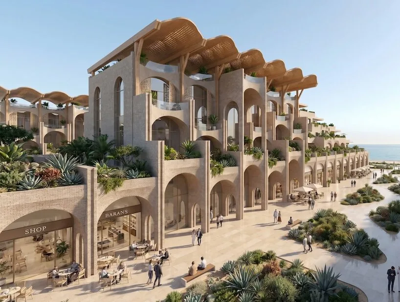
Zaha Hadid Architects said the submission was designed to unite research, forecasting and design into one continuous process, stating that it “brings baseline research, growth scenarios, spatial planning and computational tools into a single process intended to connect Benghazi’s identity with its long-term development.”
The Benghazi 2050 Digital Planning Hub
Central to the proposal is a companion platform called the Digital Planning Hub, conceived as a live evidence base rather than a fixed document. It combines geographic information system data, three-dimensional urban models, population and land-use figures, transport and infrastructure networks, environmental resilience studies and records of ongoing or planned developments within a single spatial interface.
That combined dataset is intended to form the foundation of a dynamic digital twin of Benghazi, updated as new information becomes available so that individual projects can be assessed against the wider urban context rather than in isolation. According to ZHA, the tool is meant to function as an ongoing forum rather than a static reference, with the firm noting that “the Digital Planning Hub extends the spatial strategy beyond the format of a conventional static plan, creating what the team describes as a living environment for collaboration between authorities, local communities, planners, designers and investors.”
Responsibilities within the consortium were divided by discipline. Prior+Partners handled regional and urban planning, economic strategy and governance; Homa worked on land use, built form and socioeconomic strategy; Systematica led transport and mobility planning; Buro Happold addressed environmental systems and utilities; and Fichtner contributed energy and infrastructure input. ZHA led the spatial vision and scenario design, along with the interface design and technology integration behind the Digital Planning Hub.
As presented, Benghazi 2050 is positioned less as a finished masterplan than as an evolving system for measuring and adjusting the city’s growth over time. No details have been released on funding, adoption timeline, or whether Benghazi’s municipal authorities have formally committed to implementing the framework beyond its presentation at the September event.





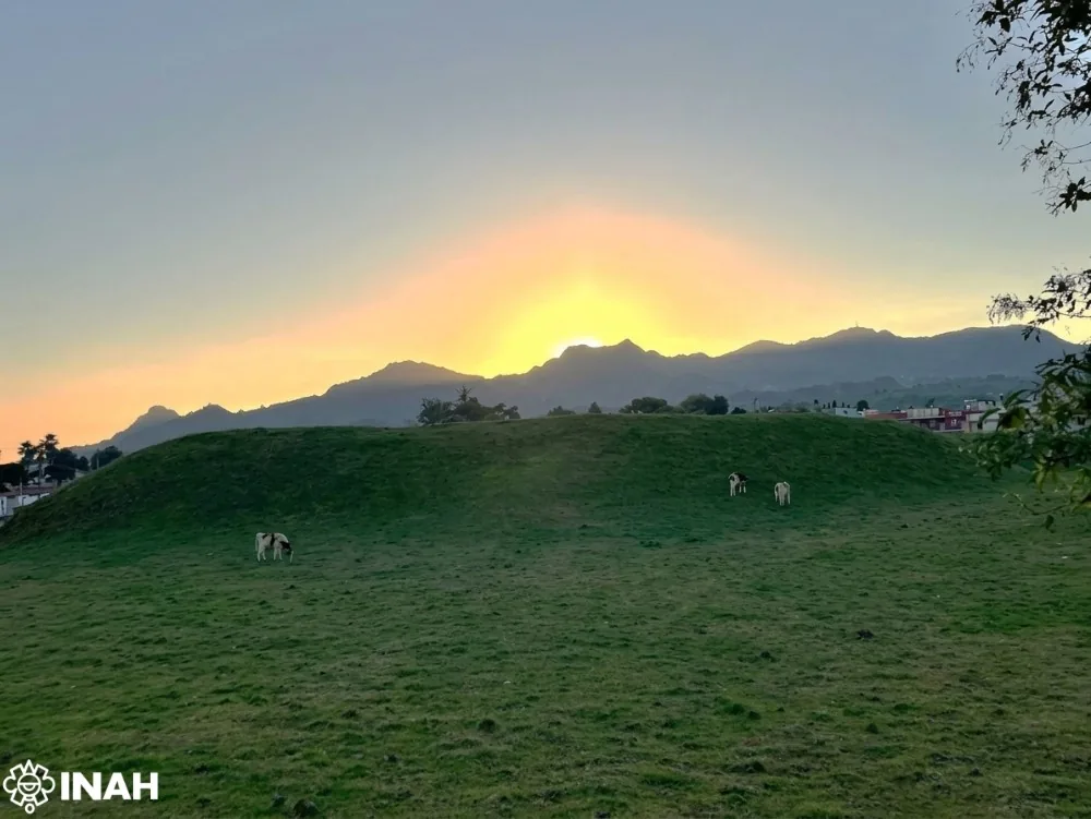
A 2,500-Year-Old Solar Observatory in Puebla Is the First Group E Complex Found Outside the Maya Area
Archaeologists working for Mexico's INAH have confirmed that two platforms at Teteles...
illustrarch Editoral Team2 Mins read
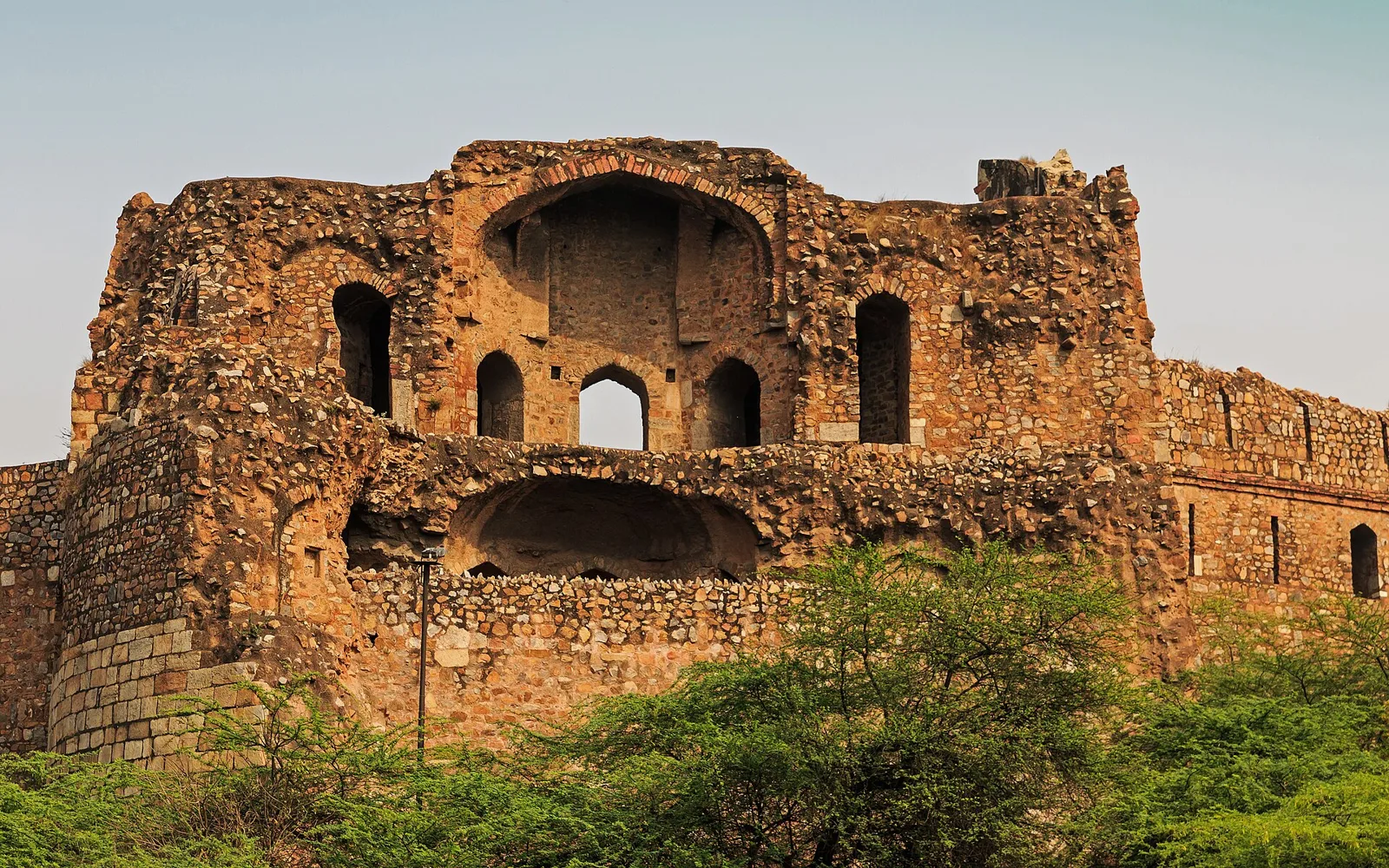
India Art, Architecture & Design Biennale 2026: Ministry of Culture Opens Delhi Monuments
Delhi's monuments, including Purana Quila and the Red Fort, will host the...
illustrarch Editoral Team2 Mins read
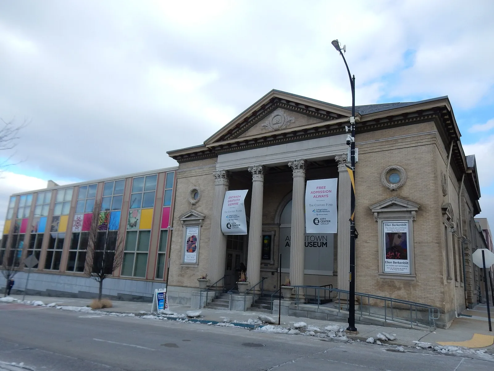
Allentown Art Museum Leaves Its Venturi, Scott Brown Addition for a New Studios Architecture Building
The Allentown Art Museum is moving to a new Studios Architecture building...
illustrarch Editoral Team2 Mins read

Donald Insall, the Conservation Architect Who Led Windsor Castle’s Restoration, Dies at 100
Donald Insall, the British architect who turned conservation into a planning discipline...
illustrarch Editoral Team2 Mins read


Leave a comment