

A 300-Metre Section of Jerusalem’s Ancient Lower Aqueduct Will Shape a New Neighbourhood
A salvage dig in East Jerusalem exposed 300 metres of the Hasmonean Lower Aqueduct; planners will keep it open as a promenade at the entrance to a new neighbourhood.
 illustrarch Editorial Team20 November 20262 Mins read1
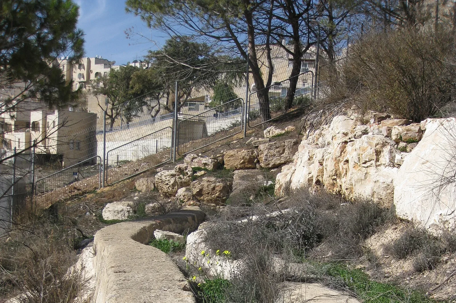
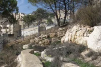
Archaeologists in Jerusalem have exposed a 300 metre stretch of the city’s ancient Lower Aqueduct, and the find is changing the plan of the neighbourhood that will be built on top of it. The Israel Antiquities Authority (IAA) began the salvage dig three months ago on the eastern edge of the city ahead of new housing, and announced the discovery on Sunday.
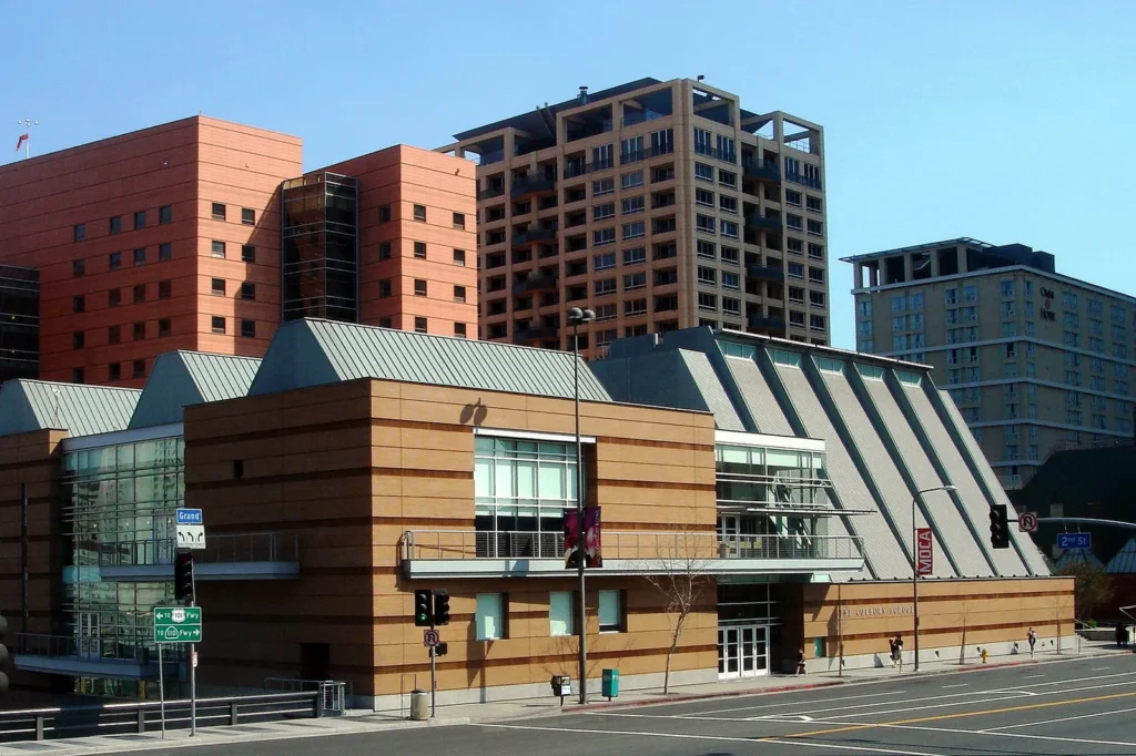 Frank Gehry’s Colburn School Expansion and Kohl Hall Will Open on 25 September 2027
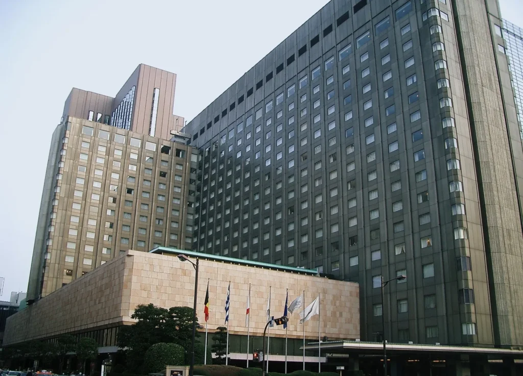 Not a Museum Will Fill Tokyo’s Former Imperial Hotel Plaza Until the Tower Is Rebuilt
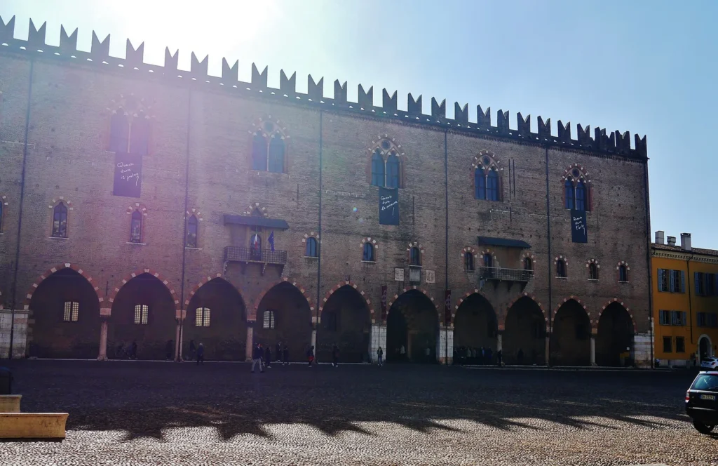 Mantua’s Palazzo Ducale Nears the End of a 14-Year Earthquake Restoration
 Michelangelus Turns Michelangelo’s Handwriting Into a Free Font for Microsoft 365
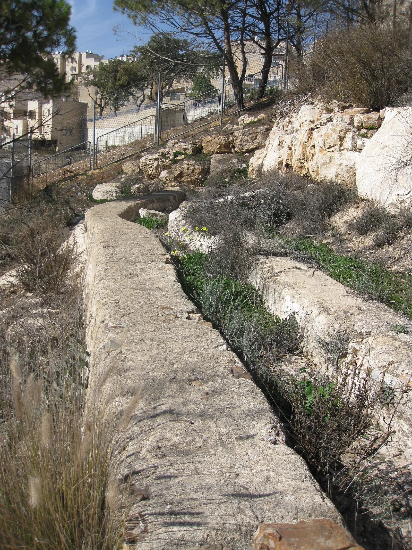
Instead of being recorded and reburied, the channel will stay visible as a promenade and archaeological park where the new district begins, a joint plan of the IAA and the Israel Land Authority. Excavation co-director Benyamin Storchan says it is the first time such a long section of the system will be permanently open to the public. Working with municipal planners, he said, the team made sure that “the shape of the new neighborhood will be determined not only by its natural topography, but based on the antiquities found there.”
How the Lower Aqueduct carried water by gravity
Before the aqueduct, Jerusalem depended on the Gihon Spring and collected rainwater. As the city grew under Hasmonean rule in the second and first centuries BCE, and its population swelled with pilgrims during festivals, engineers looked to springs in the Gush Etzion hills, more than 800 metres above sea level. Water was led to Solomon’s Pools, a large storage complex south of Bethlehem, and from there two lines, the Lower and Upper aqueducts, ran more than 20 kilometres to the city and the Temple Mount.
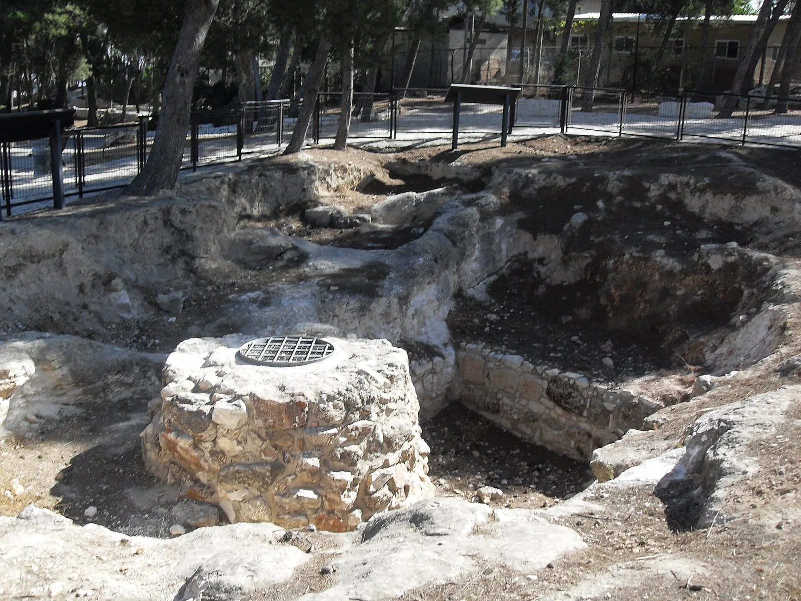
With no pumps, the route had to hug the contours of steep terrain while keeping a very shallow fall. Over most of its length the channel drops only about one metre per kilometre. Amit Re’em, the IAA’s Jerusalem district archaeologist, called the system “an engineering marvel” that would demand extensive planning even with modern technology.
Two thousand years of repairs
The newly exposed section shows several phases of the structure. The water first ran in a built, plastered channel. Around 500 years ago, in the Ottoman period, ceramic pipes were laid inside the old channel and the outer face of the wall was plastered, with small stones pressed into the wet render. Roman, Byzantine, Umayyad, Crusader, Mamluk and Ottoman rulers all repaired the line rather than replacing it, and it stayed in use until roughly a century ago, when electric pumping made it obsolete.
Those layers of repair make the original construction hard to date. The team is now combining optically stimulated luminescence dating of sediments with analysis of mortar, plaster and stratigraphy to pin down when the first channel was built, while the planned park will let residents walk along a working piece of infrastructure that served the city for two millennia.




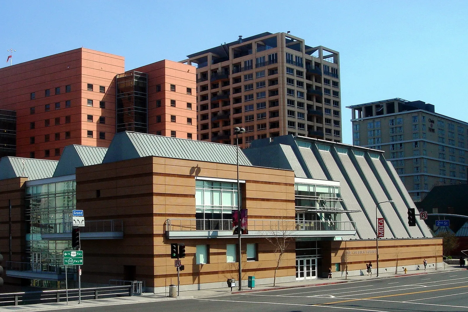
Frank Gehry’s Colburn School Expansion and Kohl Hall Will Open on 25 September 2027
Colburn has set 25 September 2027 for the opening of its 100,000...
illustrarch Editorial Team2 Mins read
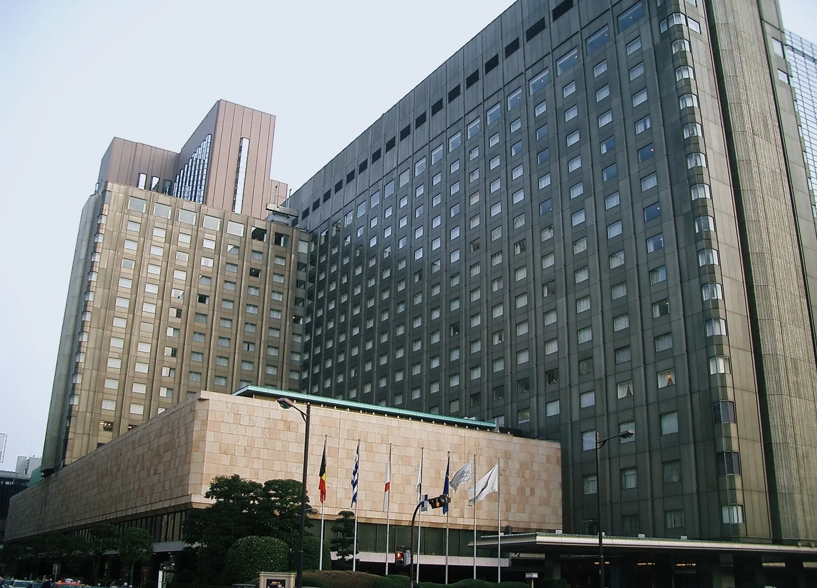
Not a Museum Will Fill Tokyo’s Former Imperial Hotel Plaza Until the Tower Is Rebuilt
NOT A CITY and SKWAT will run Not a Museum, a four-year...
illustrarch Editorial Team2 Mins read
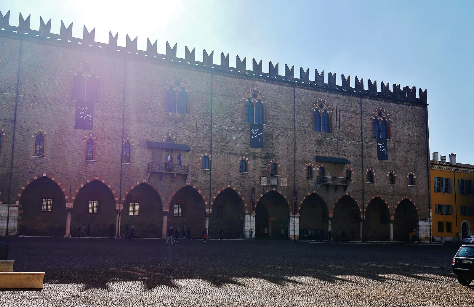
Mantua’s Palazzo Ducale Nears the End of a 14-Year Earthquake Restoration
Damaged by the 2012 earthquakes, the 35,000 square metre Gonzaga palace in...
illustrarch Editorial Team2 Mins read

Michelangelus Turns Michelangelo’s Handwriting Into a Free Font for Microsoft 365
Commissioned by the Fabbrica di San Pietro and designed by studiogusto®, Michelangelus...
illustrarch Editorial Team2 Mins read




Leave a comment